

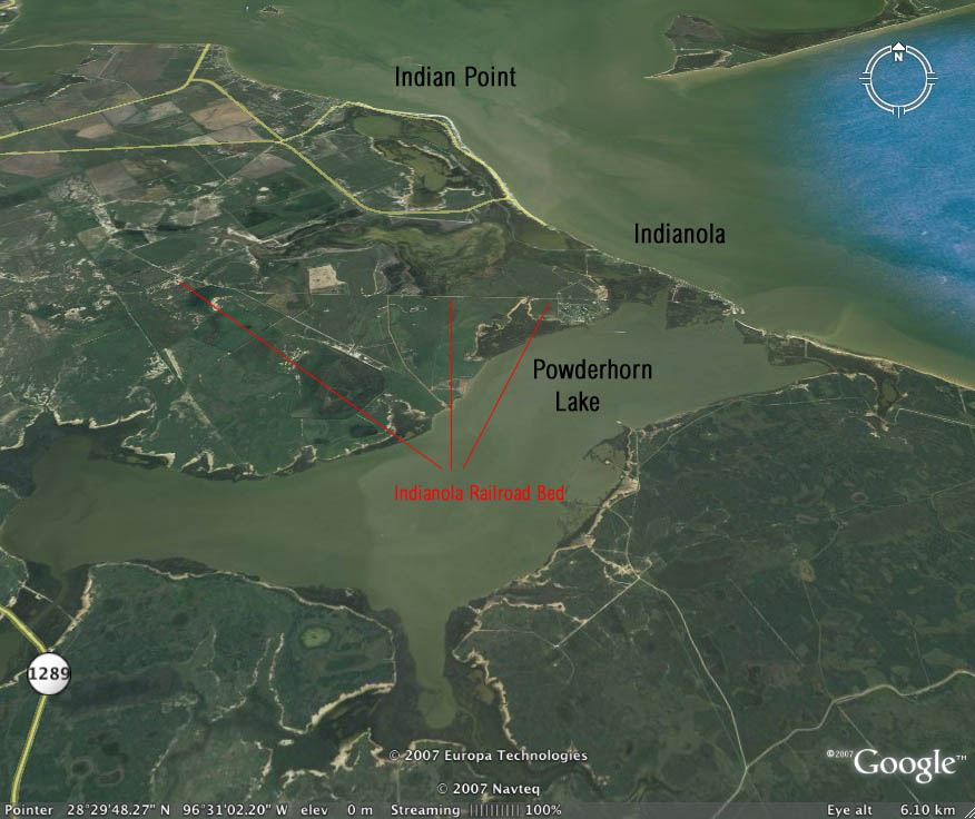
This view is from behind Indianola looking north over the townsite toward Matagorda Bay. Indian Point, the original townsite of Indianola is shown in the upper portion of the image. This is the location where the German immigrants began landing in 1844. Some of the old road bed of the Indianola railroad is indicated by the red lines. The left line points to the curve where the railroad began its turn toward Indianola. It then entered Indianola to the rear of town and eventually turned toward the bay and the Morgan Wharf that extended far out into the water.
After leaving Indianola and making the turn at the left red line, the railroad then proceeded in a straight line to Clark's Station approximately five miles north of Port Lavaca where it joined rails extending onward toward Victoria.
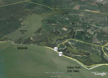 View of Indian Point and Indianola from Matagorda Bay.
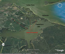
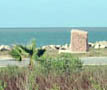
View from above Powderhorn Lake looking toward Matagorda Bay.Although the old city is gone,
there is still plenty to see!
 |
|
|
 |
|
Copyright 2006-09 - IndianolaTx.com - All rights reserved.
For information, contact webmaster@indianolatx.com